IMD flags heavy rain for August 21: Yellow and orange alerts across Uttarakhand
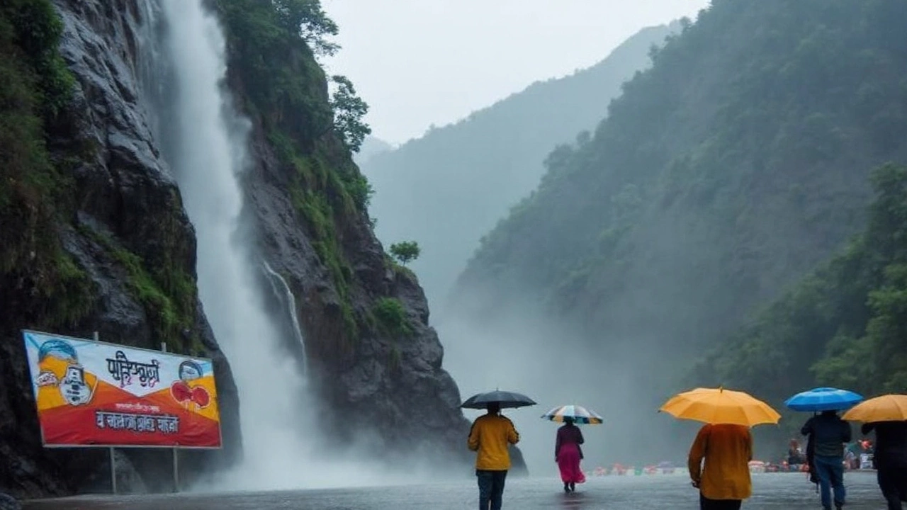
The India Meteorological Department (IMD) has warned of a fresh burst of monsoon rain across Uttarakhand today, August 21, 2025, placing much of the state under weather alerts. Ten districts are on a yellow alert for light to moderate rain, while Uttarkashi and Dehradun face a stricter orange alert for heavy showers along with thunderstorms, lightning, and squally winds. The nowcast issued by the Met Centre in Dehradun is valid until 6 PM today.
Districts under the yellow alert include Uttarkashi, Dehradun, Tehri Garhwal, Pauri Garhwal, Haridwar, Almora, Nainital, Champawat, Bageshwar, and Pithoragarh. No alerts have been issued for Rudraprayag, Chamoli, and Udham Singh Nagar in the current update, but the weather office will reassess through the day as the system evolves.
The warning sits within a broader monsoon pattern gripping Northwest India. IMD bulletins this week point to heavy to very heavy rainfall episodes likely through August 26 before conditions gradually ease. For Uttarakhand, the agency has also flagged the possibility of isolated extremely heavy rain — upwards of 21 cm in a day — at times this month. That level of rain is rare, but it only takes a few hours of intense bursts to trigger landslides in the hills and waterlogging in the plains.
August is typically the wettest stretch of the season here. Daytime temperatures usually sit between 20°C and 31°C across the state, with Dehradun often oscillating between 20°C and 30°C. The month brings frequent rainy days — often more than 22 across Uttarakhand, with Dehradun itself seeing 15 to 22 wet days on average. This year’s wet spell is broadly in line with IMD’s seasonal outlook, which called for above-normal rainfall over the western Himalayas, including Uttarakhand.
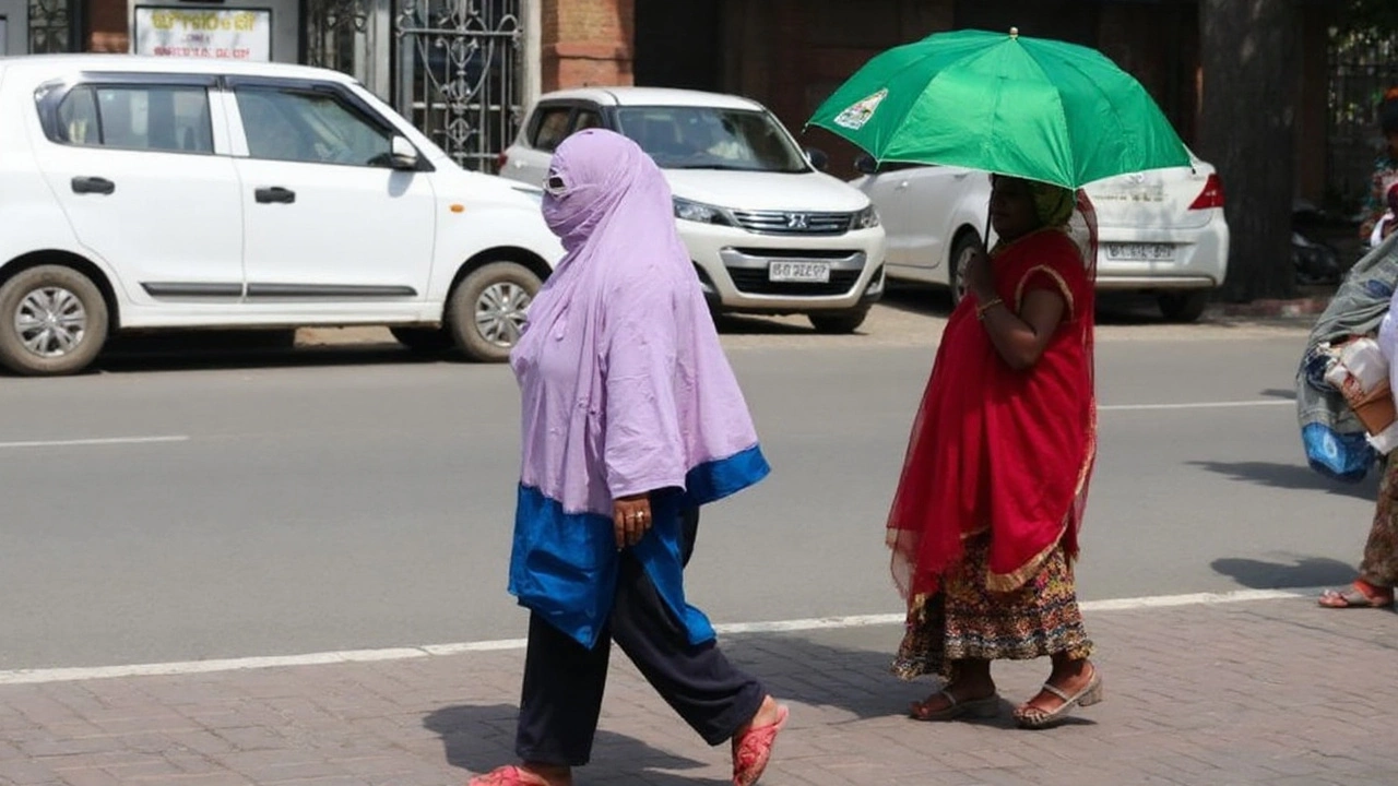
What does today’s alert mean in simple terms? A yellow alert is an early warning — be aware of changing weather, check local updates, and plan travel carefully. An orange alert means be prepared for disruptions: heavy downpours can be intense in short bursts, rivers may swell quickly, and slopes can loosen without much notice. With thunderstorms and lightning also in the mix, outdoor exposure becomes riskier.
Today’s forecast matters most for areas that combine steep terrain, active slopes, and dense river networks. In Garhwal, the Ganga basin and its tributaries — including the Bhagirathi and Alaknanda — can rise sharply after sustained rain. Kumaon’s Kosi and Saryu basins are also responsive to intense showers, especially when upstream hills are saturated. Urban pockets like Dehradun and Haridwar are vulnerable to quick waterlogging where drains choke, while lakefront and hillside neighborhoods in Nainital district can see mudslides on already fragile slopes.
Authorities have cautioned that landslides are possible in hilly stretches and that low-lying areas could face flooding during cloudbursts or prolonged downpours. Travelers are advised to move with care, especially along winding mountain roads where rockfall is common in the monsoon and visibility can drop without warning. Even a short delay in clearing debris can strand vehicles for hours when traffic stacks up in narrow sections.
Who is at risk today, and how to prepare
The immediate concern is for Uttarkashi and Dehradun, which are on orange alert. Uttarkashi’s steep valleys and river gorges react quickly to heavy rain. In Dehradun, strong storms often bring lightning, gusty winds, and quick flooding in low-lying neighborhoods. The yellow-alert districts also face risks, just at a lower probability or intensity.
- Uttarkashi (orange): Watch for sudden rises in streams, minor landslips on hillside roads, and lightning during afternoon storms.
- Dehradun (orange): Expect intense showers in spells, possible waterlogging, and strong gusts with thunderstorms.
- Tehri and Pauri Garhwal (yellow): Slopes can loosen after back-to-back rainy days; check road advisories before travel.
- Haridwar (yellow): Be alert near riverbanks and in colonies that flood frequently during high inflows.
- Almora, Nainital, Champawat, Bageshwar, Pithoragarh (yellow): Hillside settlements and forested stretches are vulnerable to rockfall and mudslides after intense bursts.
Rudraprayag, Chamoli, and Udham Singh Nagar have no alert in the current nowcast. That doesn’t mean zero risk — the monsoon can shift quickly — but it does suggest a lower likelihood of disruptive weather through the valid window.
Transport disruptions can creep up on a day like this. Mountain highways may face temporary closures if debris falls across the road. Smaller rural roads, often cut into steep slopes, can turn slippery and break down at the edges. In the plains, waterlogged sections slow traffic significantly. Flight and train operations in Dehradun and Haridwar may see delays if storms persist. It’s safer to keep extra time in your plans and confirm schedules before heading out.
Farmers get a mixed bag in such spells. On the upside, healthy monsoon rain recharges soil moisture and fills canals and reservoirs that support irrigation later in the season. On the downside, back-to-back heavy showers can flatten paddy, wash away topsoil on terrace farms, and cause fungal issues in vegetables. Orchard belts in higher elevations — especially in parts of Kumaon and Uttarkashi — need to watch for fruit drop and branch breakage in gusty winds.
Why does this keep happening in short, intense bursts? The monsoon is driven by large-scale moisture flow from the Arabian Sea and the Bay of Bengal, guided by a wavy monsoon trough that shifts north and south. When that trough hugs the Himalayan foothills, moisture piles up against the mountains, and the air is forced upward — a setup that favors heavy rain. Add local weather triggers like daytime heating in the valleys and small-scale storm cells, and you get sudden downpours that are hard to predict more than a few hours ahead.
IMD’s color-coded system is meant to make this easier to follow. Yellow means “be aware” — keep an eye on updates and be cautious. Orange means “be prepared” — disruptions are likely, and preventive steps matter. Red, which is not in place today, means “take action” as severe weather is very likely and can be dangerous. Today’s mix of yellow and orange is a signal to keep plans flexible and prioritize safety.
What should residents and travelers do right now?
- Track official updates through the afternoon; the nowcast is valid till 6 PM and can be refreshed based on radar trends.
- Avoid unnecessary hillside travel during heavy showers; if you must travel, move in daylight and share your route.
- Stay away from active landslide zones, riverbanks, and waterfalls during and after intense rain.
- Park vehicles away from slopes, retaining walls, and large trees that can topple in gusty winds.
- Unplug non-essential appliances during lightning; use surge protectors where possible.
- Stock basic supplies — drinking water, a flashlight, batteries, and essential medicines — in case of short disruptions.
- For those in flood-prone colonies, lift valuables off the floor and keep a go-bag ready with IDs and critical documents.
Emergency services and local administrations typically step up readiness during orange alerts — from clearing drains to keeping machinery ready for debris removal. Even so, early personal precautions reduce risk significantly. Community groups and resident welfare bodies can help by passing on verified updates, checking on elderly neighbors, and discouraging sightseeing near fast-flowing streams.
The rivers to watch during prolonged rain are the Ganga system in Garhwal and the Kosi-Saryu in Kumaon. Water levels can rise downstream several hours after heavy rain upstream, so conditions can change even when it’s not raining where you are. As a rule of thumb, avoid any attempt to cross fast-flowing streams and do not drive through water you can’t judge — the road beneath could be damaged or missing.
Big picture, this wet phase is not out of character for August in the hills, but the intensity and timing of downpours have become more erratic over recent monsoon seasons. That’s pushed agencies to invest in better radar coverage and landslide monitoring. For households, planning around a few high-risk days each month — delaying long drives, rescheduling outdoor work, and reinforcing drainage — pays off through the season.
For today, keep an eye on the sky from mid-morning through late afternoon, when storm cells tend to build. If you’re in an orange-alert zone, treat thunder and sudden darkening as cues to pause travel and find shelter. In yellow-alert districts, plan as normal but add buffer time and check updates every few hours. The IMD will keep refining the forecast, and district authorities typically share road and river updates as conditions change. Stay alert, stay patient, and put safety first.
Key takeaway for the day: heavy showers are likely in parts of Uttarakhand, with a higher chance of disruptive weather in Uttarkashi and Dehradun. The rest of the alert districts should prepare for on-and-off rain with brief intense spells. With the broader monsoon likely to stay active over Northwest India until August 26, today may not be the last wet day — but the smarter the preparation, the smoother the week will go.
For readers tracking travel and outdoor plans: build in flexibility. For those in low-lying or hillside homes: check drainage now, not later. And for everyone under today’s alerts: keep a reliable weather update on hand and move early if conditions worsen. That’s the simplest way to manage a volatile monsoon day in the hills.
This coverage will be updated if the IMD revises its nowcast or if district authorities issue new advisories. Stay tuned for verified updates on Uttarakhand weather through the day.